Revolutionizing Estuary System Data Collection
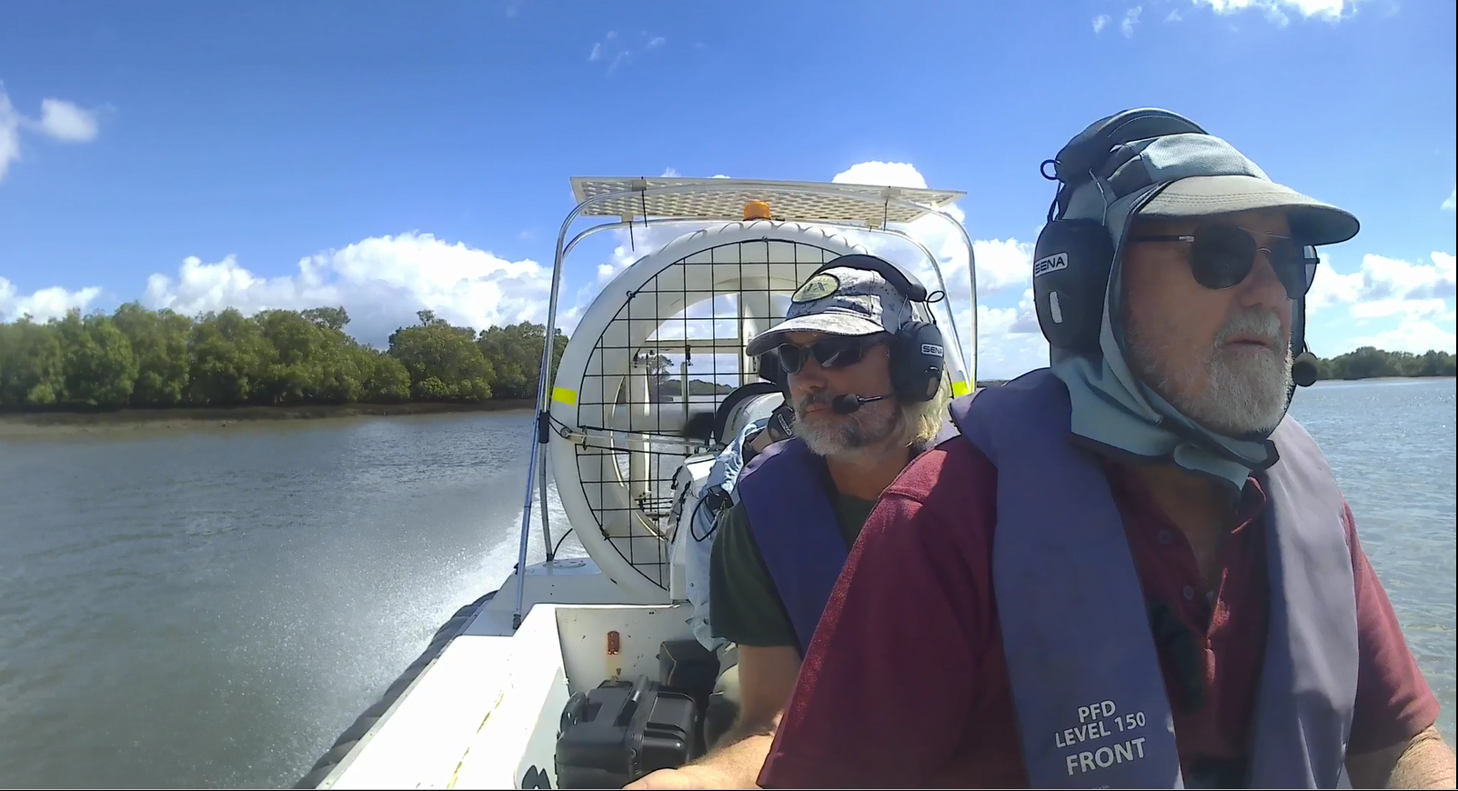
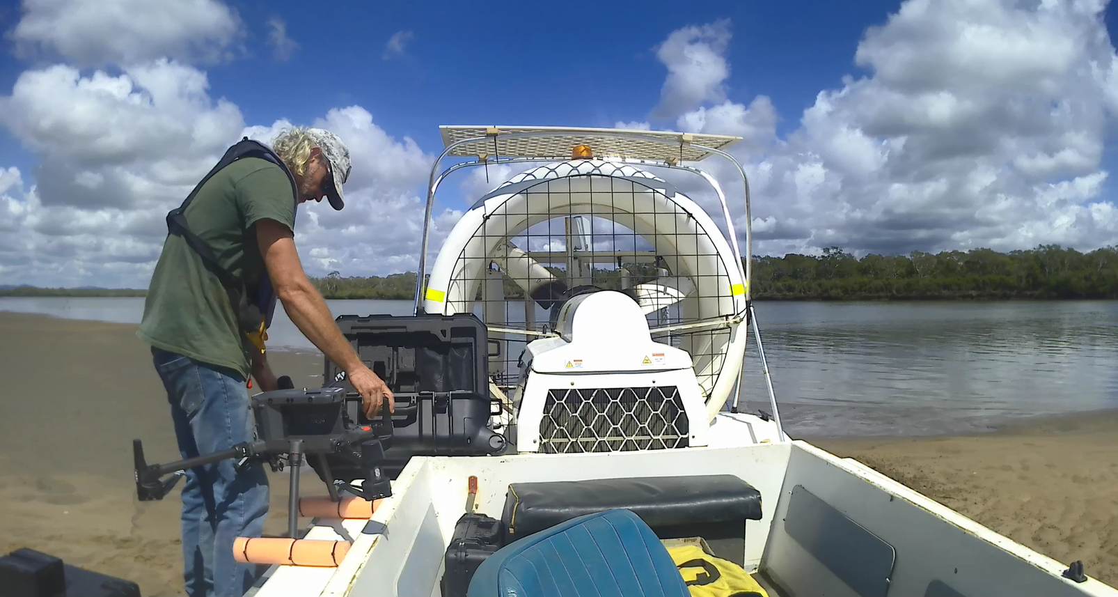
Experience unprecedented access to estuaries at low tide with our versatile hovercraft platform, designed to deftly launch and retrieve drones in challenging conditions. Harness the full spectrum of data from all drone payloads as you seamlessly capture high-resolution imagery, water samples, and environmental metrics in areas unreachable by other machinery. Our unique hovercraft-drone integration offers an exclusive solution to unlocking the secrets of estuarine environments at low tide, making it an indispensable tool for comprehensive ecological monitoring and analysis.

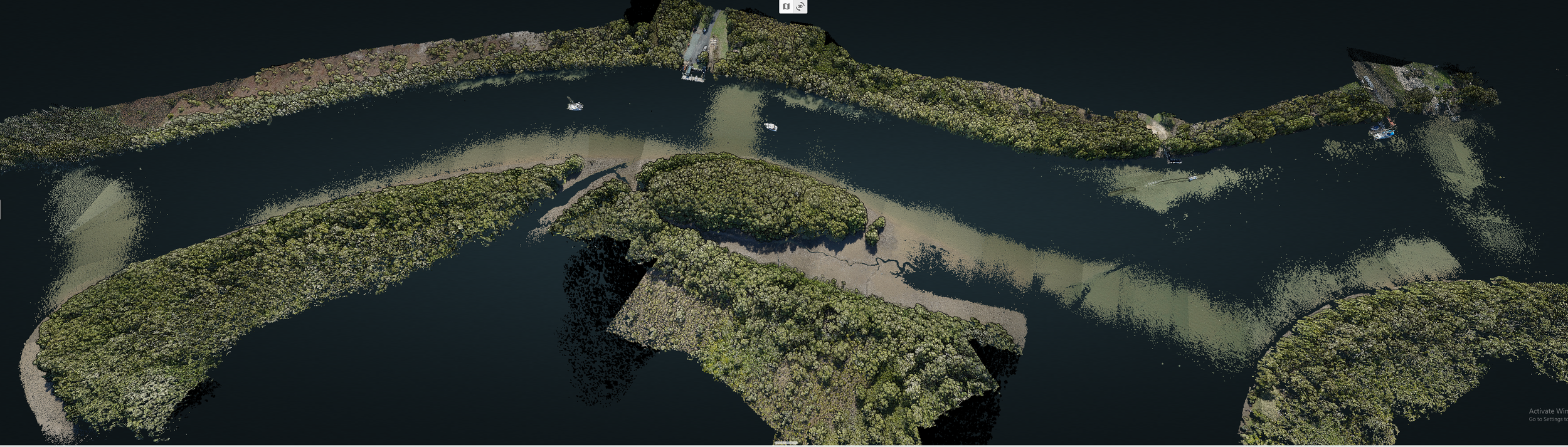
LiDAR Heat Map
Hovercrafts integrated with drones present an incredible opportunity to revolutionize environmental monitoring and disaster response. By deploying drones from hovercrafts, we can efficiently cover large areas while accessing hard-to-reach locations, providing valuable data for environmental research and rescue missions. This integration maximizes the strengths of both technologies, creating a powerful and adaptable solution for various ecological and emergency situations.
LiDAR Colourized